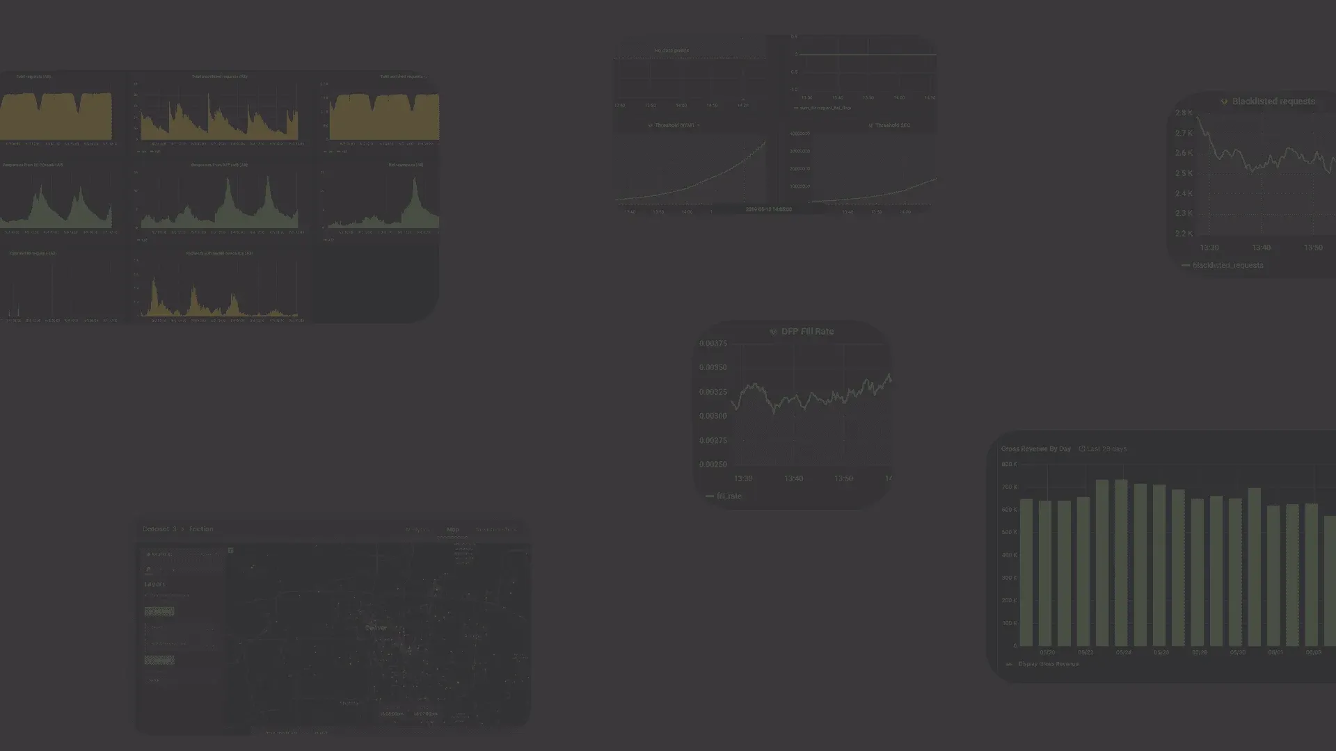
Our work
Testimonials

"Lineate is fantastic in every aspect! Their expertise, professionalism, and transparency are truly commendable. What sets them apart is their genuine willingness to guide and support us"
COO, Akyrian
Rowena Rubio

"I highly recommend Lineate – they are responsive, reliable, and flexible. I have been working with Lineate for 8 years and cannot say enough good things about them. I have always had a great team supporting me. I know that even if my developers go on vacation or are sick, I will have the coverage I need to keep my website and development projects moving forward"
Endeavor, Group Publisher
Christina Cavano
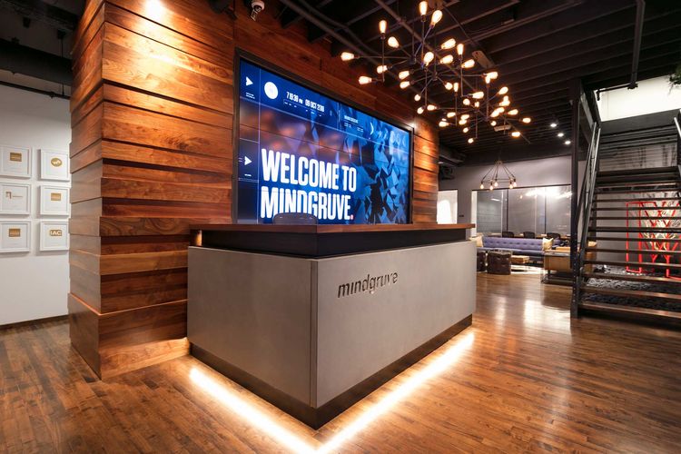
"The Lineate team has been great to work with. They are thorough, timely, and professional. We have not had a challenge to throw at them that they have not been able to tackle"
Mindgruve, EVP Business Development
Donny Fausner

"I have only the highest praise for the Lineate Team. They are trusted partners whose dedication, creative problem-solving, and rigorous approach to fulfilling each sprint is nonpareil"
The Rosen Publishing Group, Chairman
Roger Rosen